Two ground-based intruments network will be deployed in Brittany:
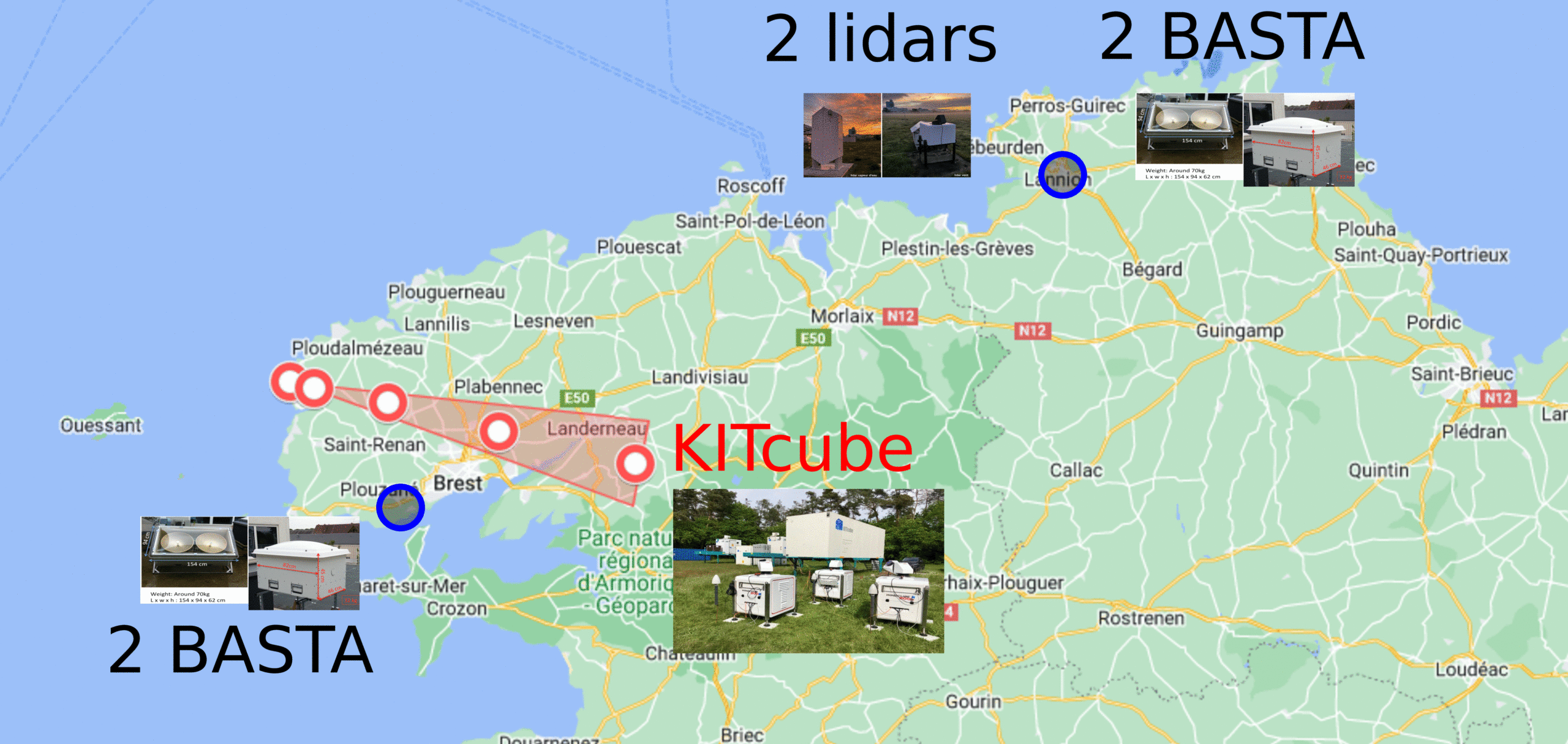
- KITcube is an integrated atmospheric observation system designed for observations of the meso-scale thermodynamic and dynamic structure of the lower troposphere. During NAWDIC, a network of five Doppler wind lidars and five water vapor lidars will be established that stretches in a transect from the coast to inland (see figure).
The deployment of the French radars/lidars on two well-separated coastal sites will complement the deployment of the KITcube radars/lidars which will be more localized and oriented toward land. The synergy between the different platforms will allow us to observe (i) the transition of high-wind features from ocean to land, and (ii) the vertical structure of dry intrusions, cold fronts, and cloud heads as well as their spatio-temporal evolution. The novel character of the instrumentation strategy relies on the deployment of multiple state-of-the-art remote sensing instruments in a limited zone to measure properties of turbulence and convective rolls in the boundary layer during the occurrence of a storm.